Leaving Mossman we turned up the Mossman Mount Molloy Road - very steep assent leaving the lush tropical rainforest and once over the ranges, it is replaced by more open tropical savannah as you travel through the tiny settlements common to Cooktown.
 |
| Beautiful fern covered trees in Mossman |
 |
| A slow climb up through the Mt Rex Road |
 |
| This is the inland Mulligan Highway |
We stopped to refuel and have a bite to eat at the Palmer River Goldfield (est. 1873) roadhouse where the owner gave us his photo album to look through while we were there. Very interesting to see the hardship's endured in the earlier years before the roads were sealed and most were rendered to bog in the wet seasons. Trying to get supplies up here was not easy.
 |
This goldfield was once Australia's richest alluvial field back in 1872 led to Queensland's largest gold rush.
It became legendary for its hardships and the large number of Chinese miners, which peaked at
17,000 in 1877. Now a place of significant national heritage. |
Heading north on towards Cooktown we passed through Lakeland with its natural basin formed by volcanic activity millions of years ago then on passing Annan Gorge and Black Mountain before reaching our destination Cooktown Racecourse where we will be for five nights while exploring this historical town. We are free camping so our solar panels are a godsend even though most days have cloud cover.
 |
After unhitching Duz Us we took a drive through the main street and stopped at the waterfront
to watch the local fishermen catching their dinner. |
 |
| A steep climb up to Grassy Hill Lookout with this lighthouse now decommissioned |
 |
| Grassy Hill looking south down the coastline |
 |
| This is an aerial shot of where we are and heaps of information on Capt James Cook and Joseph Banks journals even on the downward drive there are plaques with quotes from their journals back in June 1770. |
 |
| A little smokey as plenty of bushfire burnoff's happening. |
THURSDAY 5th October - We decided to drive out of town and look at Archer Point with it lighthouse high up on the hillside with views of the windswept and rugged coastline.
 |
| Very windy atop Archer Point Lighthouse and remains of WWII lookout/radar buildings. |
 |
| A steep descent down to Archer Point where campers fish in the bays. No swimming up here - too many crocodiles and stingers!!!! |
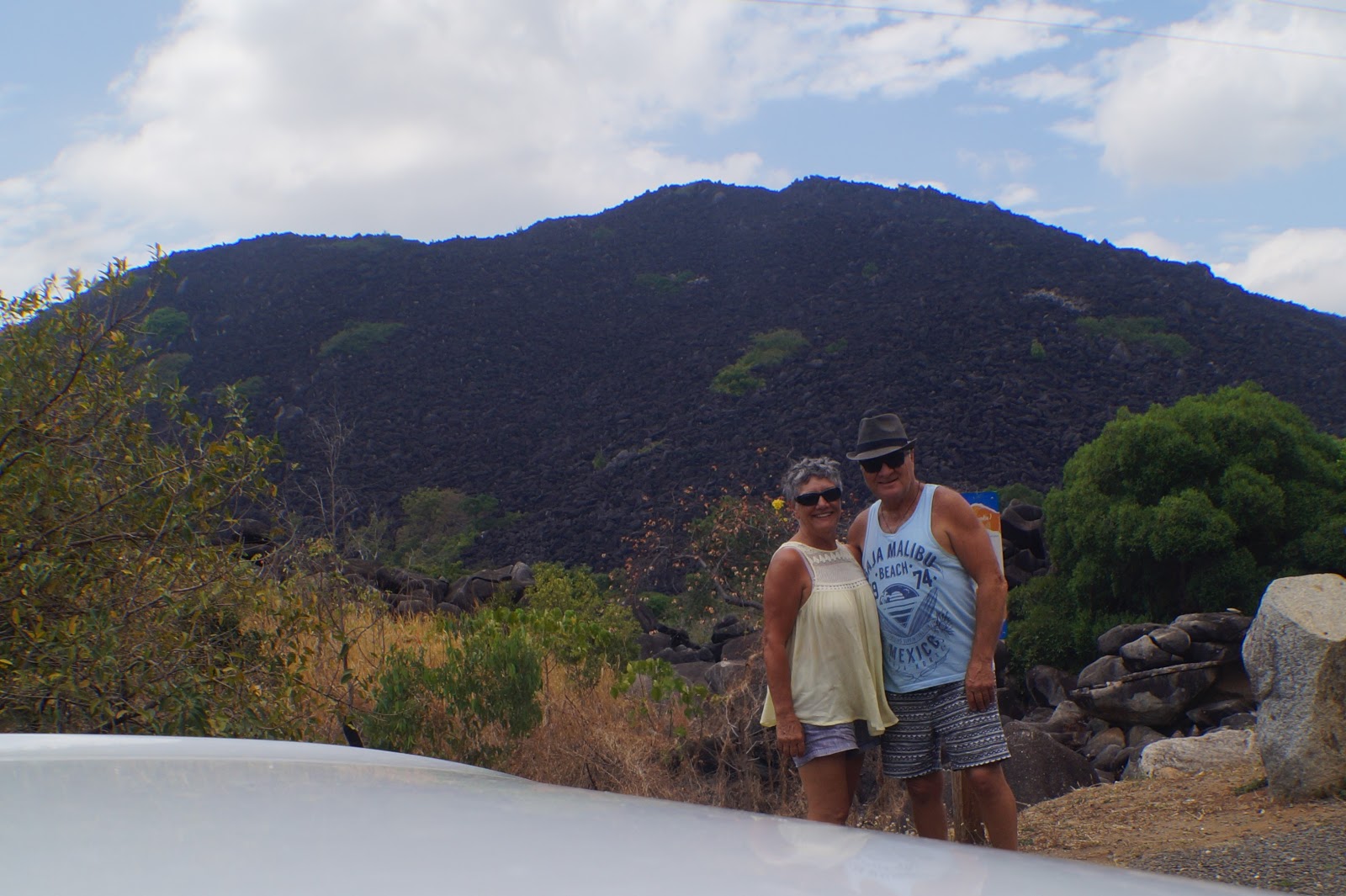
Once back onto Mulligan Highway we turn southwards to the mysterious Black Mountains, steeped in myths and legends, and are a special story place for the Kuku Yalanji people. At the viewing area signage tells of the insight into this incredible 260 million year old rock formation. Volcanic region.
 |
| I was fascinated by these outcrops of fig trees growing in the crevices up the mountain. |
We then took the road out towards Bloomfield Falls passing through Rossville, Cedar Bay National Park, Ayton Beach before arriving at Wujal Wujal an aboriginal community.
 |
| Bloomfield River |
 |
| The remote and beautiful Cedar Bay National Park is of great conservation importance with its mountainous hinterland, almost entirely covered in dense tropical rainforest, is fringed by sandy beaches and coral reefs. |
 |
| No Wayne, we are not a 4WD so not going back to Cape Tribulation just down the road!!!! |
Driving back the way we came, we stopped at the "Lions Den" at Helenvale. Built in 1875, the historic Lions Den Hotel is the top place to stop and have a shandy and a cold beer. From the old miners signatures that adorn the wall along with heaps of different memorabilia, the museum items donated by locals, the old mango trees out front and the old camel across the road, this place has plenty of charm.
 |
| Like plenty of outback pubs, this one leaves you with great memories of years gone bye. |
 |
| One of the museum rooms. |


No comments:
Post a Comment